One of the many “must-see” attractions in the Colorado Springs area is Pikes Peak. Therefore, on Wednesday, we took our visitors from Germany up the Pikes Peak Highway. There are a few ways to tackle the summit of this 14,115 ft peak. You can take the aforementioned 19 mile long Pikes Peak Highway which is famous for the annual Pikes Peak International Hill Climb, aka “The Race to the Clouds“ and is touted as the highest….or you can take the Pikes Peak Cog Railway. Of course, if you are so inclined, there is always the 12.6 mile hike up the Barr Trail.

We chose Wednesday for a couple reasons. First – the weather report was favorable and the sky was free of clouds, and Second – it fit into the busy schedule of things that Will and Jasmin still have planned for the short time they have left on their vacation. Their flight back to Germany is this coming Monday.
We paid the toll at the entrance station/tollgate. The fee was $40 per carload (up to 5 passengers). I showed my retired military ID and got a couple dollar discount. The attendant cautioned us that blowing snow near the peak may cause a road closure and stated that we should go directly to the top without delay because the weather was expected to get worse as the day progressed. When we left the house the skies were free of clouds, however, by the time we arrived at the tollgate the clouds were quickly coming over the mountains from the West. This is a common problem in the COS area… you never know what’s right over the mountains until it’s on you.
It was just below “tree line“, which is the point where the trees no longer grow due to altitude and climate, that we hit snow from last week’s cooler weather.
Here’s some pics I took through the windshield on the way up.


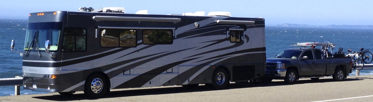
After driving almost 19 miles, we finally neared the top. On the way up, I monitored the transmission temperature on the Silverado which went from ~140 degrees at the bottom to almost 215 degrees at the top. I have a “Tow” option on the Silverado, which allows me to press a button on the end of the shift lever to limit the upshifting. It keeps the transmission in a lower gear and therefore the engine runs at a higher RPM. This is better for the vehicle because it’s not shifting between gears all the time which is the leading cause of premature wear and overheating. Higher engine RPMs equal better cooling for two reasons; 1) The cooling fan is pulling a higher volume of air through the radiator and transmission cooler while also blowing more air over the engine, and 2) The water pump is operating faster, therefore circulating more coolant through the system.
Sorry if that’s too much technical talk, I guess it’s the old Warrant Officer “Maintenance Tech” coming out again. But, I believe a lot of blog readers appreciate this type of info.


The wind was blowing pretty hard at the top of the peak, so we didn’t take too many outside pictures… just too cold 🙁
I made a bee-line for the world-famous donuts and hot chocolate. The donuts are touted as the only donuts in the world made above 14,000 feet. I like them… they’re not too sweet or covered in glaze or other stuff.

Here’s Will and Jasmin enjoying their snacks in the concession area.

We braved the elements for a picture in front of the Summit sign.

The Cog Train arrived at the top while we were there. They left the doors open after all the passengers disembarked so we could step inside out of the cold wind and blowing snow.

I took a picture of Colorado Springs below from the window of the cog train. We were lucky that the clouds that had came in so fast from the West were up high making for unobstructed views.


We braved the cold and wind (briefly) for another picture at the observation deck area.

After only an hour or so at the top, we headed back down.

Here’s a couple views looking South and West towards Cripple Creek.


The wind continued to blow hard on the way down. The rangers had put up cones at one point to prevent cars from coming up. I guess they couldn’t keep up with the snow and ice that was forming across parts of the road.


It’s important to use low gear going down the mountain. I kept my automatic transmission in Low 1 and sometimes 2. I only used the brakes a couple times at the hair-pin curves. A technique I’ve always used when going down long grades is to only hit the brakes just before a curve… and when I must, I use them briefly and firmly. It still surprises me how many people ignore this and ride their brakes all the way down which effectively takes a couple years off the expected brake pad life in just one trip. Several tourists passed me on the way down – and when they did, you could smell their overheated brakes.
The further we went back down the highway, the better the weather. The winds died down and the temperature went back up to a comfortable 75 degrees versus the 34 degrees at the top.

After an uneventful trip to the bottom, we went back to the house. Will and Jasmin had plans to borrow Joleen’s car to go up to Denver and see the sights there.
Until next time… hope you enjoyed Pikes Peak.